“I have found it.”
Eureka is California’s enduring call to discovery—a fitting motto for every traveler who takes the road beyond the obvious turnoff.
The Open Road of the Golden State
An honest guide to California’s scenic highways, quiet backroads, coastal stops, mountain passes, and wide-open desert.
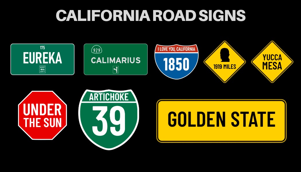
California’s identity told through the state motto, the Bear Flag, and the road signs that turn a long drive into a story.
Eureka is California’s enduring call to discovery—a fitting motto for every traveler who takes the road beyond the obvious turnoff.

Red star, grizzly bear, and a strip of red—the unmistakable banner of the Golden State.
Scroll across the map from north to south. Six stops that capture what driving through California is all about.

Roll the windows down along the Avenue of the Giants. Quiet roads under trees older than most modern cities.

Pull up to Hawk Hill in the morning to watch the Pacific fog slide over the bridge and into the bay.
The classic road trip photo spot. Watch the Pacific swell crash against cliffs 300 feet below the bridge.

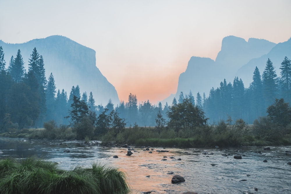
Sheer 3,000-foot vertical cliffs like El Capitan and Half Dome enclosing the green valley floor.

Walk down to El Matador during low tide to explore natural rock arches and watch surfers on the point.
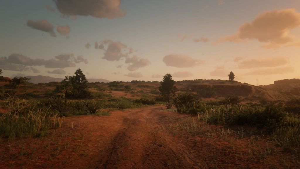
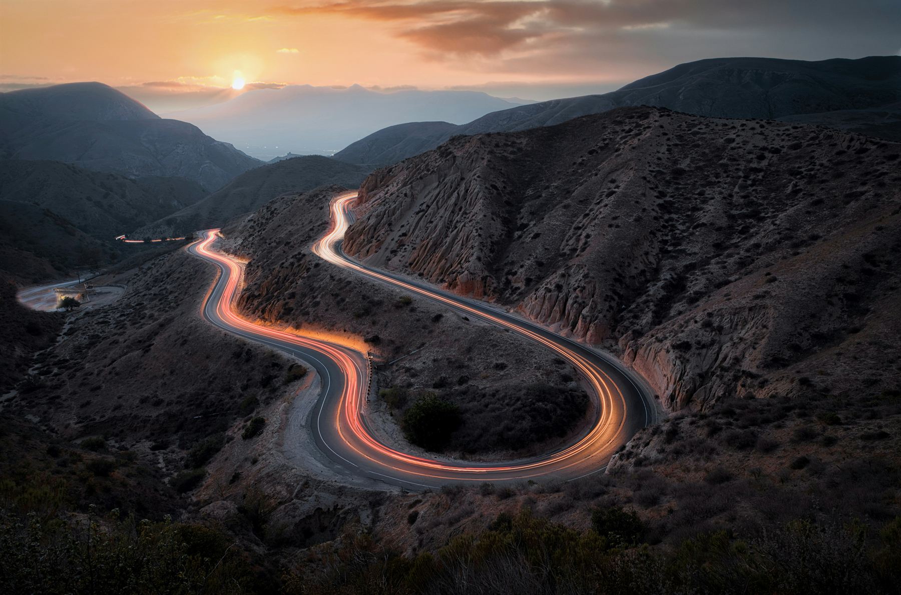
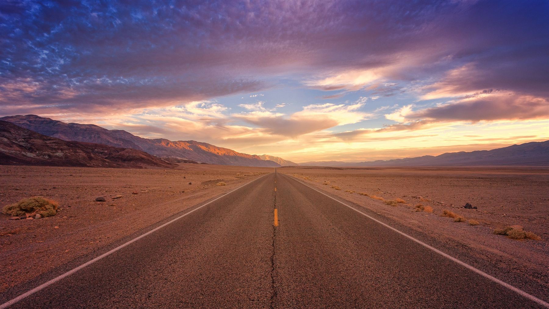
Red dirt tracks cutting through desert brush and open mountain horizons with zero crowd noise.
Explore authentic topography, highway corridors, national parks, and elevation profiles. Select a region or toggle map layers below.
Coordinates, best times of day to visit, gear advice, and parking tips from people who’ve actually been there.
Start with the city, then choose the kind of stay that fits your route—from downtown hotels to coastal hideaways and desert pools.

Los Angeles
Beach mornings, design hotels, late dinners, or a quiet base above the boulevard.
Pair with an LA route


Palm Springs

Napa Valley

Lake Tahoe
CALIMARIUS does not currently process bookings. Hotel links and live availability can be connected when a booking partner is selected.
Realistic daily drive times, fuel stops, and scenic viewpoints so you spend more time exploring and less time stressed in traffic.
The definitive California coastal drive. You start on the Golden Gate, cruise through Big Sur cliffs, stop in quiet beach towns, and finish in sunny Southern California.
Pick a landscape photo from the road, write a short travel note, and download a digital postcard stamped with the Route 929 highway badge.